

Blog | Creating Environments with Drone Data
SELF-PACED TRAINING

Want to learn more about creating amazing 3D environments in Virtual CRASH 4? Don’t wait. Take advantage of our self-paced training course Building Environments in Virtual CRASH 4!

Last update: 11/3/2021
In Virtual CRASH, users can import aerial photographs and scale diagrams in nearly any image format, including .tif (or .tiff) format. First explained in this post, Summer 2019 Software Update, VC4 and VC5 users can scale images using the Easy Alignment Tool, the Smart Alignment Tool, or by simply inputting the physical pixel size. To learn about all the ways to scale orthomosaics and align them with point clouds or total station (or RTK GPS) points in VC4 and VC5, see the following blog post: https://www.vcrashusa.com/blog/2019/6/2/summer-2019-software-update
Note: If you’re interested in automatic scaling and aligning of orthomosaics and point clouds, see this post: https://www.vcrashusa.com/blog/2021/2/22/importing-single-orthomosaics-and-orthomosaic-tiles-into-virtual-crash-4-and-5
Legacy method to scale and align before VC4 Summer 2019 Software Update: Measure reference distance, scale image
When importing images from any source, remember Virtual CRASH assumes a single pixel is 1 cm x 1 cm in physical size, so in most cases, the Virtual CRASH scale tool is needed to set the scale between two reference points that are visible in the photo or diagram. If you’re using something like Pix4D, and you mark ground control points (GCPs) in your scene as a part of your scene inspection workflow, you can use these to set the image scale by aligning the scale tool endpoints to the GCPs. The scale tool in Virtual CRASH only needs to know the x-y plane projected distance between the two points. So, if you have a table of the GCP coordinates, you can pick two of them that are visible in your orthomosaic, then calculate the x-y plane projected distance, which is used as our scale tool length, by:

Here we see one side of the scale tool aligned with a GCP:
Here we see both ends of the scale tool aligned with two GCPs:
With the image scale set, one can simulate or create path animations directly on top of it.
If do not have GCPs in your orthomosaic, then simply use a known distance directly measured at the scene via total station or some other measuring device. A commonly used reference is the lane width or distance between two or more dashed lines in the road striping.
If you are importing point cloud data as well as an orthomosaic created by Pix4D, you have an additional advantage if there are no GCPs, because the point cloud itself can be used to obtain distance measurements with which the orthomosaic scale can be set.
In the example below, we first measure the distance between these three dashed lines, using the “Dimension Line” tool in Virtual CRASH. This tool gives the x-y projected distance between end-points. Note, when measuring the x-y projected distance of points in a point cloud, you should switch to the top-down orthographic view. You may also need to modify max points or point size to better see the measuring tool beneath the point cloud itself.
Here we see after identifying these same features in the orthomosaic, the scale tool length is set to the same distance:
Another advantage of importing an orthomosaic with a point cloud is that you can take advantage of the high quality of the orthomosaic by using it to colorize the terrain mesh created with the Easy Surface Builder (VC5 | VC4). After you’ve scaled your orthomosaic, you’ll want to align it visually with the point cloud. Generally orthomosaics and point clouds generated in Pix4D import into Virtual CRASH with same angular orientation, so adjusting the yaw angle of either isn’t necessary. Simply zoom in and move the orthomosaic until the various features are aligned with the corresponding features in the point cloud. You’ll want to do this in the top-down orthographic view. It is often helpful to adjust the point cloud point size and max points to make the orthomosaic image more visible beneath the point cloud. Here we see an example of aligning one of the white dashes in the road striping.
Zooming in and out, check that the overall image alignment is satisfactory.
Finally, below we see the original point cloud, which was created by Pix4D, and exported as a .xyz file for Virtual CRASH 4:
Here is the automatically colorized terrain mesh built with the Easy Surface Builder:
Finally, here we see colorization from the scaled and aligned orthomosaic image. This option is enabled with the “receive projection” option. Note the orthomosaic image on the x-y plane must be visible for receive projection to colorize the mesh using the image.
Here we have a single rendered frame in skylight, showcasing the high-resolution colorization of the terrain mesh by using the orthomosaic beneath it:
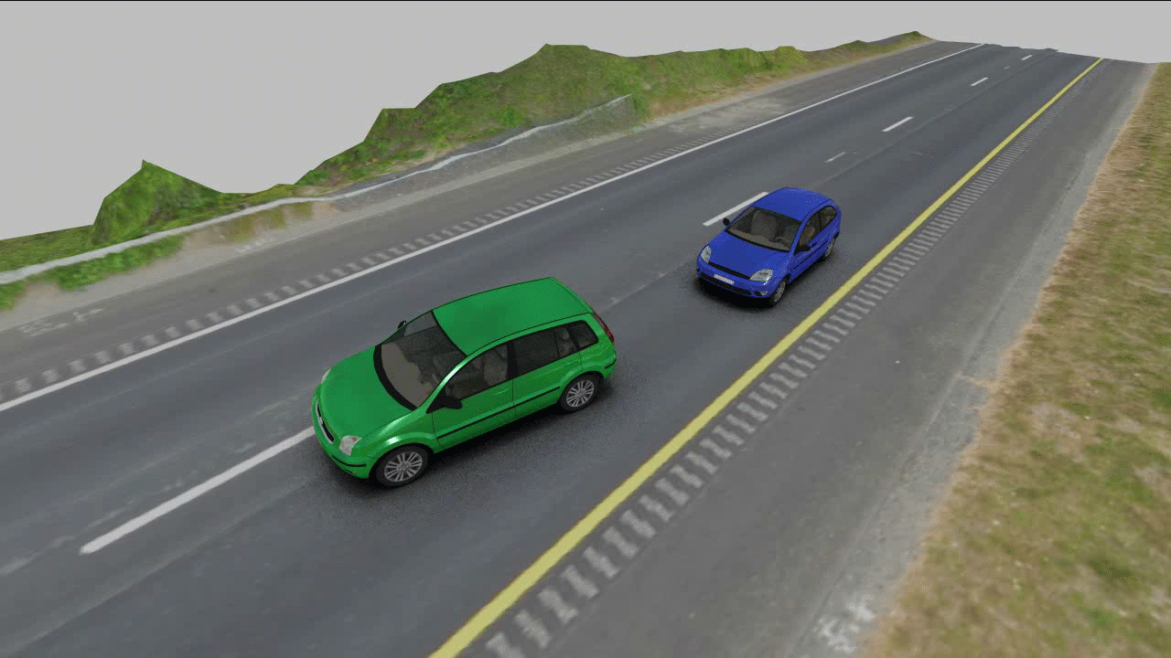
The resulting animation is shown below:
Below we see more details of the surface mesh created by the Easy Surface Builder.